Data processed and staged in support of RAS2FIM 2D workflows.
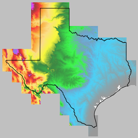
Statewide 3-meter terrain (Digital Elevation Model)
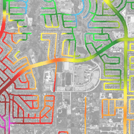
Statewide Road Elevation Data per TxDOT District
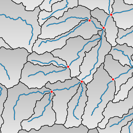
Stream line network from National Weather Service
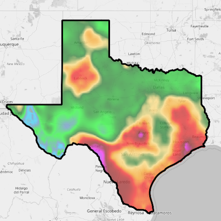
1000 year (5 minute) Precipitation for Texas; NOAA Atlas 14 Volume 11
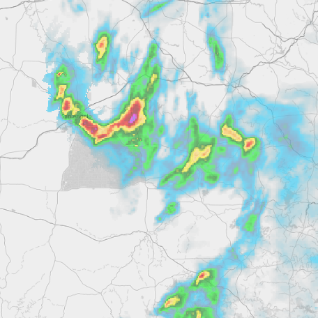
Gridded precipitation template (MRMS) in GRIB2 format
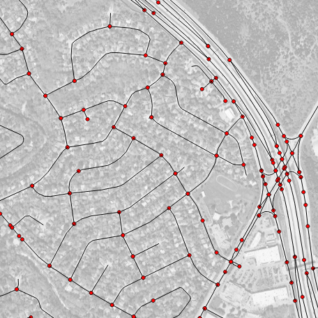
Statewide public roadway lines from OpenStreetMap