Information
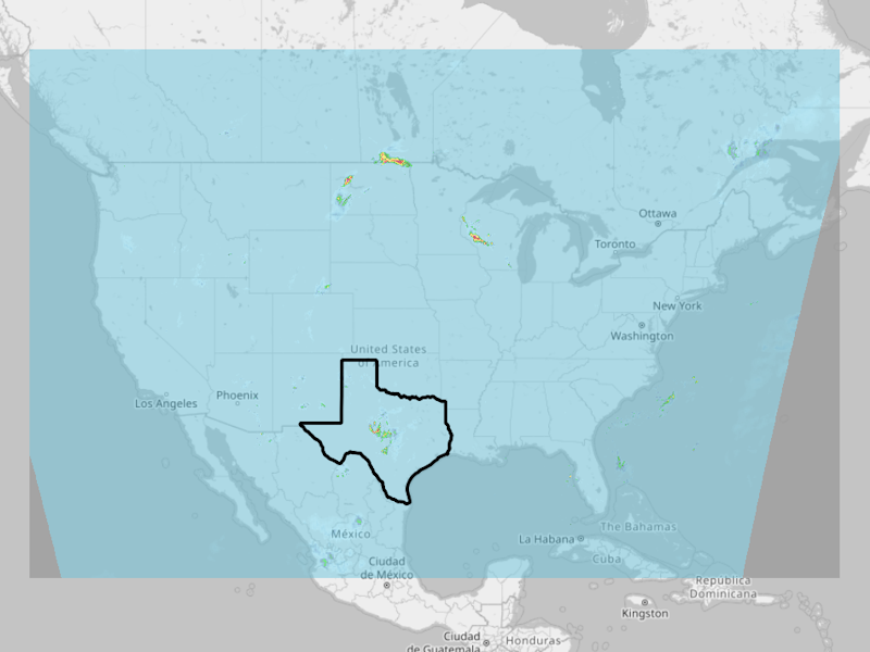
 This file is a 1-hour rainfall accumulation product for 2025-07-04 06:00 (UTC) over the contiguous U.S. (CONUS),
derived from radar but corrected using rain gauges. Its spatial resolution is approximately 1 km horizontal grid,
and is from the MRMS system’s archived data set.
This file is used by RAS2FIM-2D as a template of rainfall GRIB2 file structure. Units are mm.
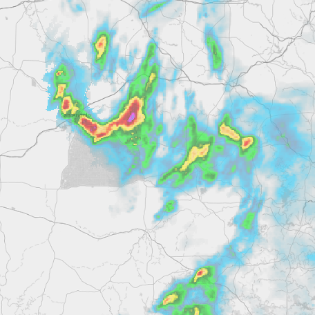
This file is a 1-hour rainfall accumulation product for 2025-07-04 06:00 (UTC) over the contiguous U.S. (CONUS),
derived from radar but corrected using rain gauges. Its spatial resolution is approximately 1 km horizontal grid,
and is from the MRMS system’s archived data set.
This file is used by RAS2FIM-2D as a template of rainfall GRIB2 file structure. Units are mm.
Explore yearly archived MRMS. Learn about the MRMS data here.
For questions, contact:
Links and Resources
| Resource | Action |
|---|---|
| MRMS Rainfall template (GRIB2) | Download File |
Data Prepared by
Data Served by
Sample Layer Image