Information
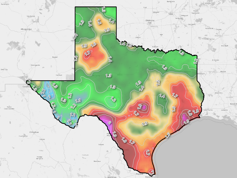
 Atlas 14 1000-year, 5-minute raster is a geospatial dataset (GeoTIFF) that provides spatial estimates of
extreme precipitation depths with a 1-in-1000-year recurrence interval for Texas. Raster values reflect a 1/1000ths of
inches expected for this return frequency for a 5-minute long rain burst.
This resource is part of NOAA Atlas 14, Volume 11. Data pulled from from here.
Atlas 14 1000-year, 5-minute raster is a geospatial dataset (GeoTIFF) that provides spatial estimates of
extreme precipitation depths with a 1-in-1000-year recurrence interval for Texas. Raster values reflect a 1/1000ths of
inches expected for this return frequency for a 5-minute long rain burst.
This resource is part of NOAA Atlas 14, Volume 11. Data pulled from from here.
For questions, contact:
Links and Resources
| Resource | Action |
|---|---|
| Precipitation Raster (GeoTIFF) | Download File |
Data Prepared by
Data Served by
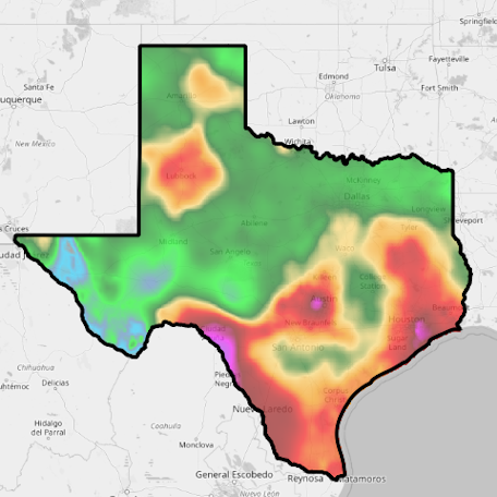
Sample Layer Image